File:Donut2PortSolars.png
Revision as of 02:52, 28 March 2020 by SaccharineChampion (talk | contribs) (Assign to Retired Map Images)
No higher resolution available.
Donut2PortSolars.png (647 × 595 pixels, file size: 68 KB, MIME type: image/png)
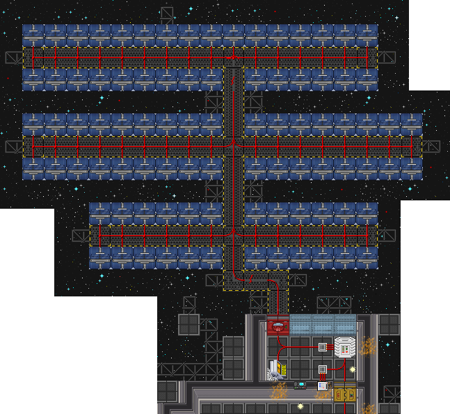
The solar arrays near Medbay, which is apparently the port side of the donut.
File history
Click on a date/time to view the file as it appeared at that time.
| Date/Time | Thumbnail | Dimensions | User | Comment | |
|---|---|---|---|---|---|
| current | 02:25, 25 April 2018 | | 647 × 595 (68 KB) | Studenterhue (talk | contribs) | The solar arrays near Medbay, which is apparently the port side of the donut. |
You cannot overwrite this file.
File usage
The following 2 pages use this file: